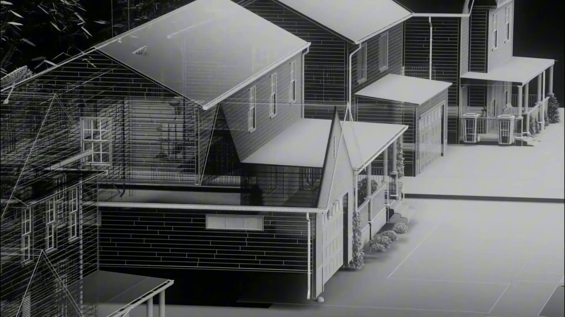

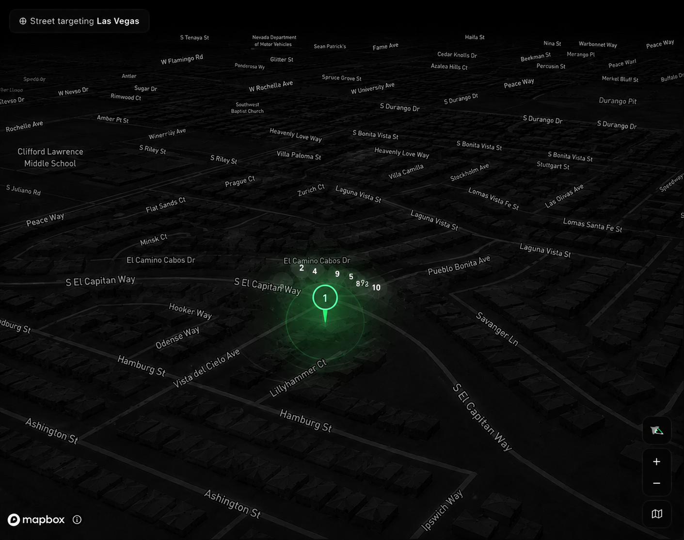
Street Targeting
From image to address. Surface ranked locations from a single image using architecture, terrain, signage, and environmental context.
Cloverfield studies the things a photo can’t hide — light, architecture, signage, terrain — and turns them into a ranked set of places your team can act on within seconds.
From image to address. Surface ranked locations from a single image using architecture, terrain, signage, and environmental context.


Available to verified agencies and investigative teams only
“One photo, no metadata, and Cloverfield narrowed the search to three city blocks before our briefing was over. It has changed how we open every case.”