What Cloverfield is actually capable of
Three visual-intelligence engines built for investigators: geolocation from a single frame, vehicle identification from partial sightings, and street-level targeting from any reference view.
Upload. Analyze. Locate.
From a single frame, geoestimation reads environment, structure and context — returning ranked, high-confidence regions in seconds.

Single frame · no landmarks · no EXIF required
Vision transformer decomposes the frame into vegetation, soil, architecture, sky — inferring a region directly from those signals.

$ downsampled · luminance · edges
RETURNED IN SECONDS
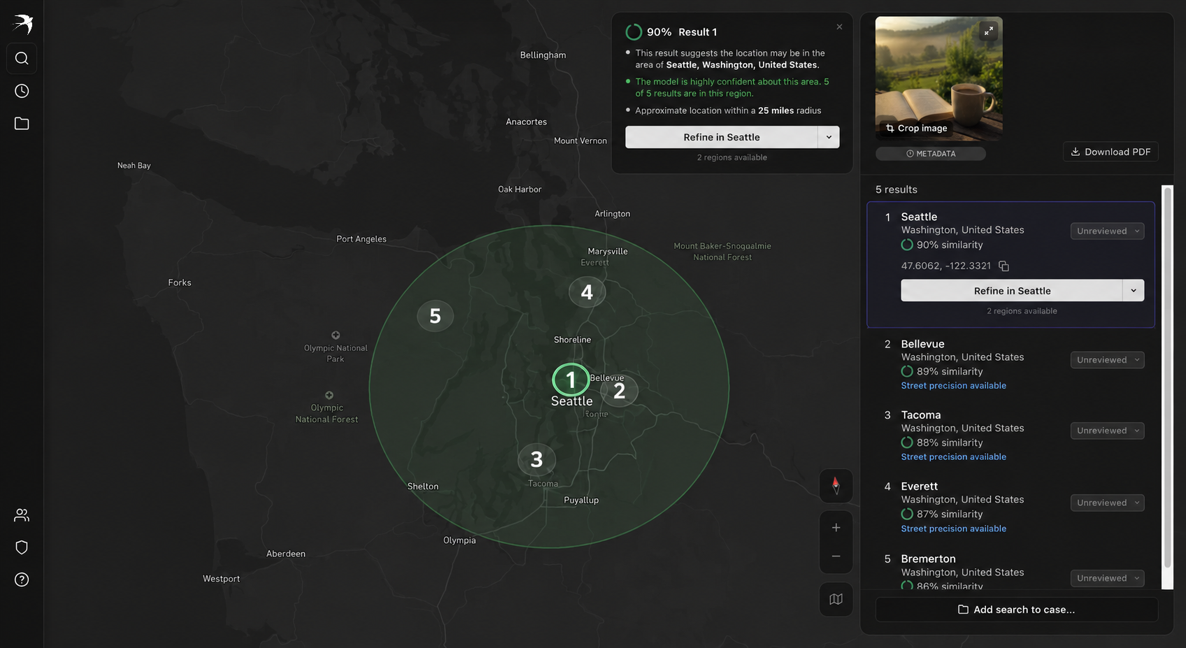
Seattle, Washington · United States
47.6062°N, -122.3321°W
~25 mi
90%
MATCH · 5 OF 5 IN REGION
The plate can be missing. The car can't.
Make, model, trim and year recovered from low-resolution or partial frames — matched against every sighting in your case files.
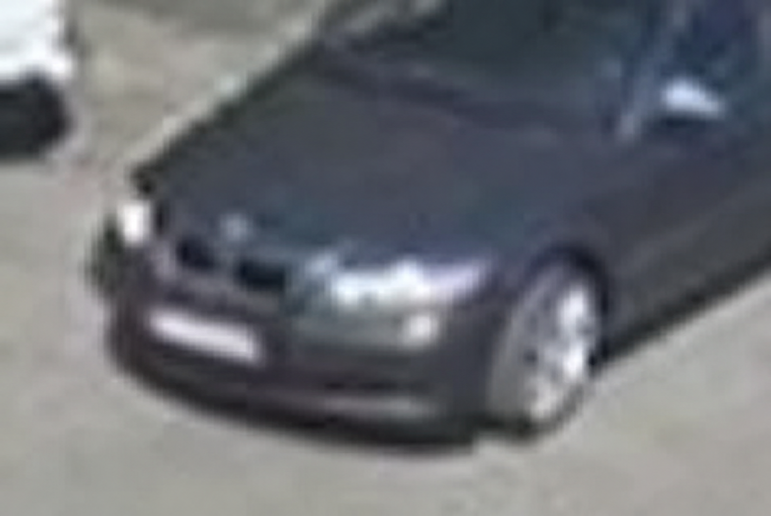
Cropped frame · motion blur tolerated
Body geometry, lamp clusters and trim hardware are scored against a manufacturer reference set to return a ranked identity.
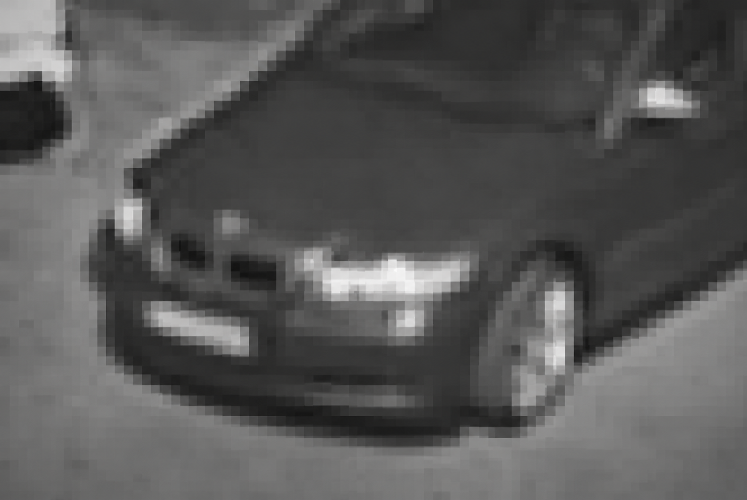
$ silhouette · lamp cluster · badge geometry
RETURNED IN SECONDS
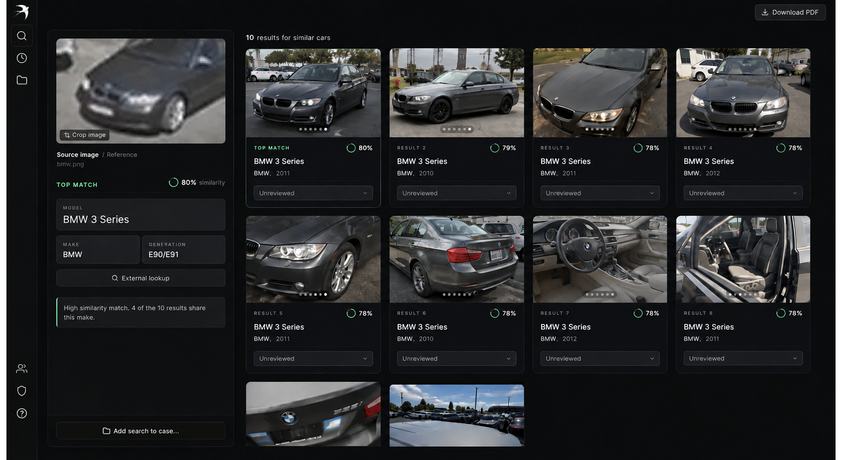
BMW 3 Series · E90/E91
2010 – 2012
10 similar cars
80%
TOP MATCH · 4 OF 10 SHARE MAKE
A roadside frame. The exact street.
Once a region is locked, street targeting narrows the frame to individual roads and addresses — scoring terrain, tree line, buildings and road geometry against street-level imagery.
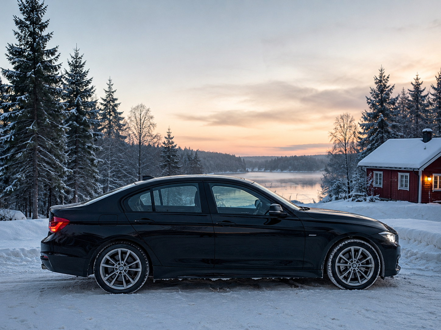
Single frame · winter light · no metadata
Road curvature, building placement and horizon geometry are aligned to street-level imagery to rank candidate addresses.
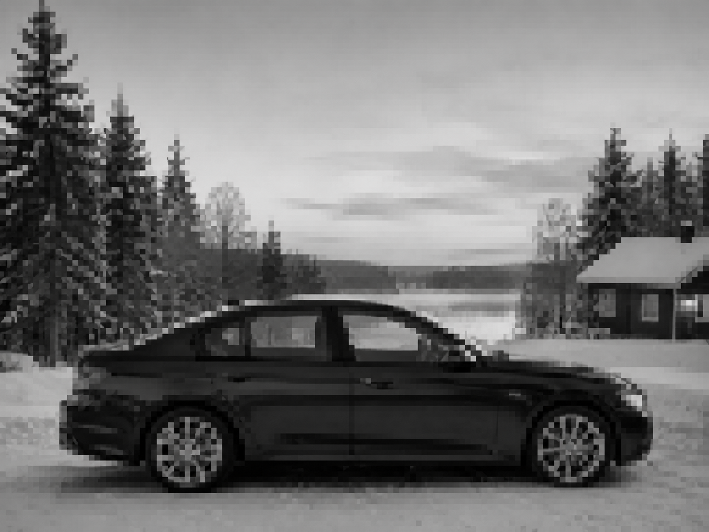
$ terrain · tree line · road geometry
RETURNED IN SECONDS
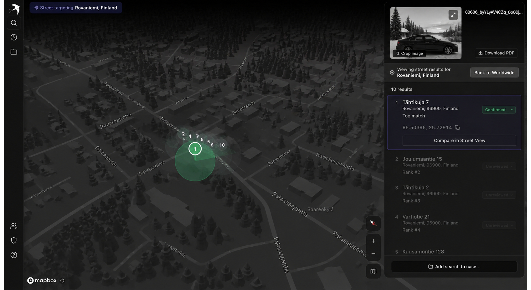
Tähtikuja 7 · Rovaniemi, Finland
66.50396°N, 25.72914°E
10 results
TOP MATCH
CONFIRMED · RANK 1 OF 10
Ready to see what an image is hiding?
Book a demoAvailable to verified agencies and investigative teams only